1/19


NextGIS Mobile
1K+下载次数
23MB大小
2.9.0(26-01-2025)最新版本

详情评价版本信息
1/19
NextGIS Mobile介绍
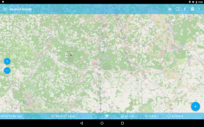
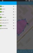
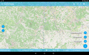
NextGIS Mobile是为您的移动设备能够在地理信息系统:
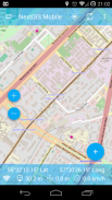
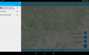
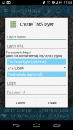
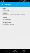
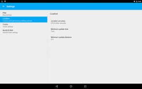
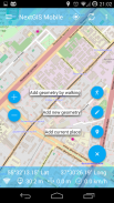
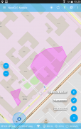
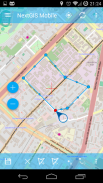
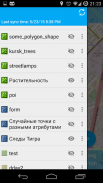
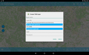
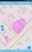
- 显示多层地图(层数可以来自在线和离线源)
- 变化的知名度和层序
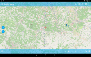
- 导航地图(平移,放大,缩小)
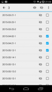
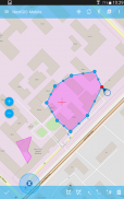
- 编辑矢量数据(几何形状和属性)的在线和离线
- 记录轨迹
- 显示坐标,速度,高度等。

保证非恶意应用此应用已通过病毒、恶意软件和其他恶意攻击的安全测试,不含任何威胁。
NextGIS Mobile - APK信息
APK版本: 2.9.0程序包: com.nextgis.mobile名称: NextGIS Mobile大小: 23 MB下载次数: 51版本: 2.9.0发布日期: 2025-01-26 05:30:41最小屏幕: SMALL支持的CPU: x86, x86-64, armeabi-v7a, arm64-v8a
程序包ID: com.nextgis.mobileSHA1签名: 98:7C:B6:CF:A5:A2:14:1C:D1:0F:8E:13:AD:2A:50:BA:9B:D8:8F:2E开发商 (CN): Dmitry Baryshnikov组织 (O): NextGIS本地 (L): Moscow国家/地区 (C): RU州/市 (ST): Russia程序包ID: com.nextgis.mobileSHA1签名: 98:7C:B6:CF:A5:A2:14:1C:D1:0F:8E:13:AD:2A:50:BA:9B:D8:8F:2E开发商 (CN): Dmitry Baryshnikov组织 (O): NextGIS本地 (L): Moscow国家/地区 (C): RU州/市 (ST): Russia
NextGIS Mobile的最新版本
2.9.0
26/1/202551 下载次数23 MB 大小
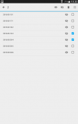
其他版本
2.8.0
3/10/202451 下载次数23 MB 大小
2.7.1
24/7/202451 下载次数22.5 MB 大小
2.7.0
11/7/202451 下载次数22.5 MB 大小
2.6.56
11/6/202451 下载次数19.5 MB 大小
2.6.52
29/1/202451 下载次数19.5 MB 大小
2.6.49
27/8/202351 下载次数19 MB 大小
2.6.48
21/6/202351 下载次数15 MB 大小
2.6.46
24/5/202351 下载次数15 MB 大小
2.6.45
21/3/202351 下载次数15 MB 大小


同类应用


English


